Maps & Topography
Showing 209–224 of 284 resultsSorted by latest
-
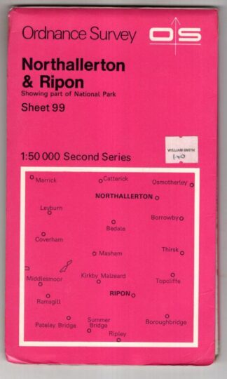
Northallerton & Ripon Sheet 99 Second Series:Ordnance Survey
£3.56 Add to cart -
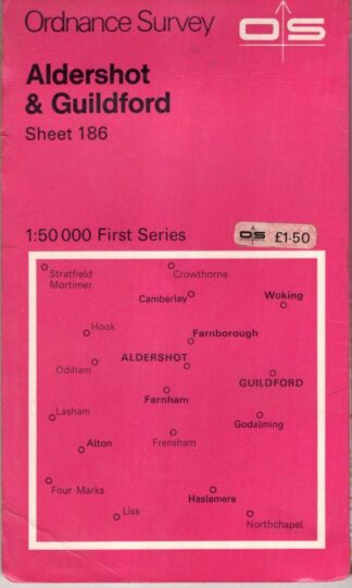
Aldershot & Guildford, Sheet 186 First Series:Ordnance Survey
£3.56 Add to cart -

Ordnance Survey One-Inch Map Lochcarron, Sheet 26:
£3.56 Add to cart -
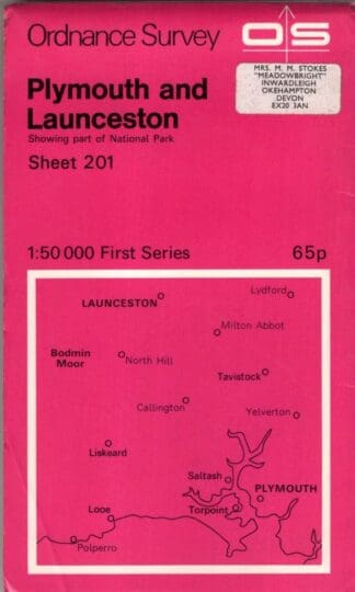
Fist Series: Plymouth and Launceston Area Sheet 201:Ordnance Survey
£2.69 Add to cart -

2½ inch map SK 00 (Provisional):Ordnance Survey
£4.50 Add to cart -

2½ inch map SK 18 (Provisional):Ordnance Survey
£4.50 Add to cart -
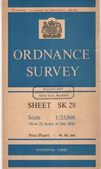
2½ inch map SK 28 (Provisional):Ordnance Survey
£5.85 Add to cart -

2½ inch map SK 17 Tideswelll:Ordnance Survey
£5.85 Add to cart -
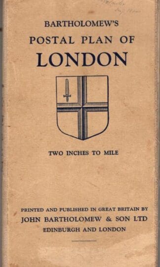
Postal Plan Of London:Bartholomew’s
£20.25 Add to cart -
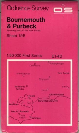
Bournemouth and Purbeck sheet 195 1st series:Ordnance Survey
£3.15 Add to cart -

The Hawthorns 1886 : Staffordshire Sheet 68.15:Claire Harrington
£3.59 Add to cart -
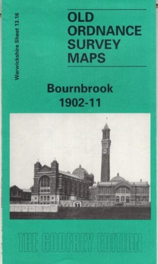
Bournbrook 1902-11: Warwickshire Sheet 13.16 (Old O.S. Maps of Warwickshire):John Maddison
£3.56 Add to cart -
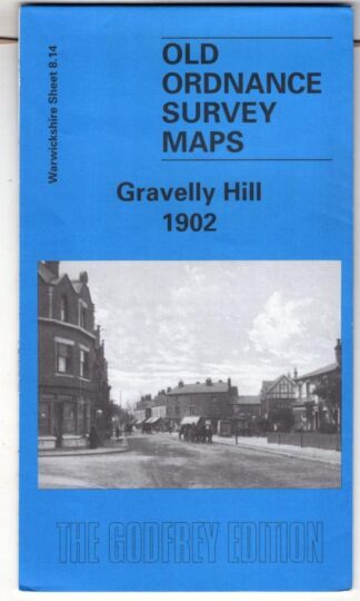
Gravelly Hill 1902: Warwickshire Sheet 8.14 (Old O.S. Maps of Warwickshire):Alan Godfrey
£3.59 Add to cart -
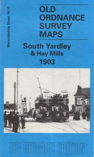
South Yardley and Haymills 1903: Warwickshire Sheet 14.11 (Old O.S. Maps of Warwickshire):John Boynton
£3.59 Add to cart -
Revised “Half-Inch” Contoured Maps – Great Britain, Sheet 11 Pembroke:
£4.46 Add to cart -
Blackburn & Burnley (1st series) Sheet 103:Ordnance Survey
£2.69 Add to cart
Showing 209–224 of 284 resultsSorted by latest
