

Maps & Topography
Showing 1–16 of 229 resultsSorted by latest
-

A New Survey of England: Devon : W. G. Hoskins
£10.80 Add to cart -

The Cotswolds : Charles Hadfield & Alice Mary Hadfield
£6.75 Add to cart -
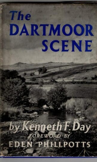
The dartmoor Scene : Kenneth F. Day
£7.65 Add to cart -

Philip’s Companion Maps England & Wales : J. Bartholomew
£31.50 Add to cart -
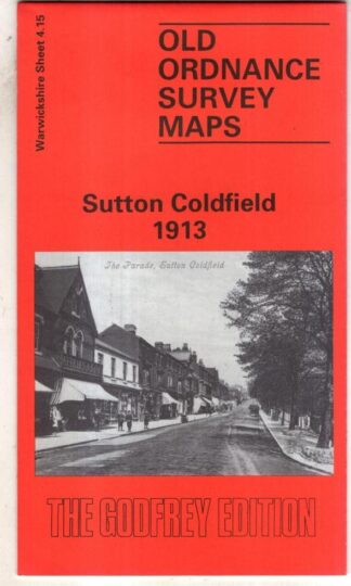
Sutton Coldfield 1913: Warwickshire Sheet 4.15 (Old O.S. Maps of Warwickshire) : Roger Lea
£3.60 Add to cart -
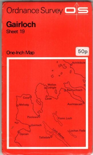
Gaiirloch Sheet 19 One-Inch Map : Ordnance Survey
£3.60 Add to cart -

Montgomery: Pathfinder 909 : Ordnance Survey
£4.50 Add to cart -
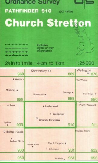
Church Stretton: Pathfinder 910 : Ordnance Survey
£4.50 Add to cart -
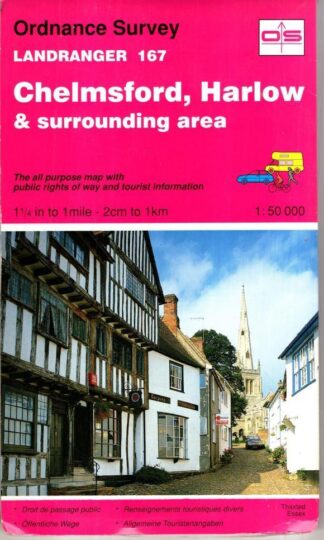
Chelmsford, Harlow and surrounding area. Landranger 167 : Ordnance Survey
£3.60 Add to cart -
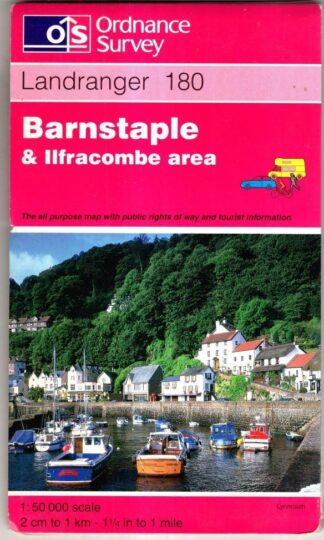
Barnstaple & Ilfracombe area. Landranger 180 : Ordnance Survey
£3.60 Add to cart -

Torbay & South Dartmoor area. Landranger Sheet 202 : Ordnance Survey
£3.60 Add to cart -
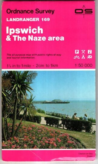
Ipswich & The Naze area. Landranger Sheet 169 : Ordnance Survey
£3.60 Add to cart -
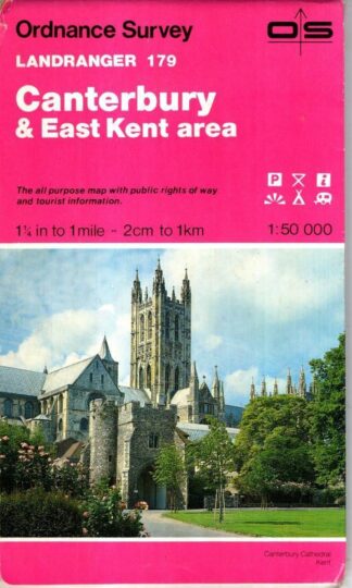
Canterbury & East Kent area. Landranger Sheet 179 : Ordnance Survey
£3.60 Add to cart -

Taunton & Lyme Regis. Landranger Sheet 193 : Ordnance Survey
£3.60 Add to cart -
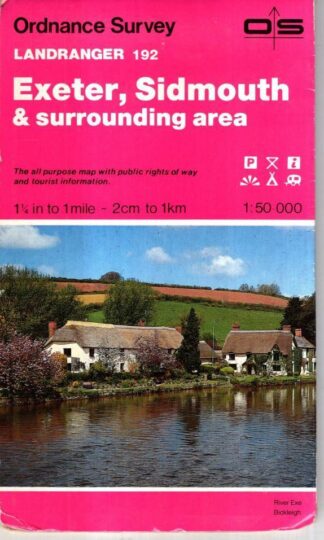
Exeter, Sidmouth & Surrounding area. Landranger Sheet 192 : Ordnance Survey
£3.60 Add to cart -
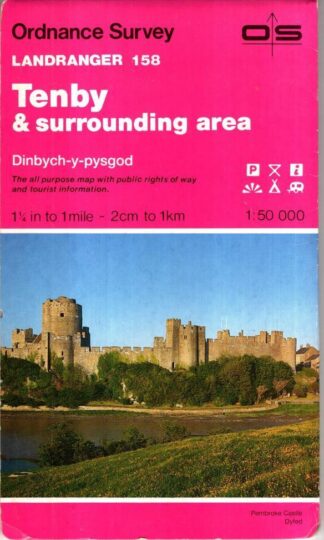
Tenby & Surrounding area. Landranger Sheet 158 : Ordnance Survey
£3.60 Add to cart
Showing 1–16 of 229 resultsSorted by latest