

Maps & Topography
Showing 1–9 of 361 results
-
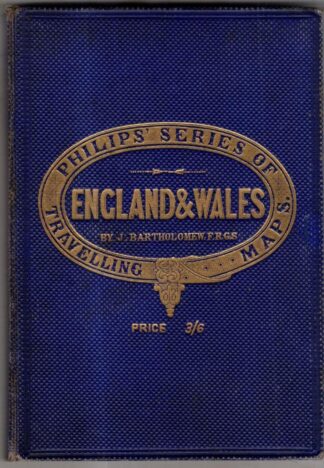
Philip’s Companion Maps England & Wales : J. Bartholomew
£31.50 Add to cart -
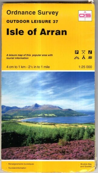
Isle of Arran: Sheet 37 (Outdoor Leisure Maps) : Ordnance Survey
£3.60 Add to cart -
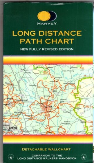
Long Distance Path Chart : Harvey Map Services Ltd
£12.60 Add to cart -
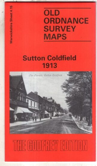
Sutton Coldfield 1913: Warwickshire Sheet 4.15 (Old O.S. Maps of Warwickshire) : Roger Lea
£3.60 Add to cart -
Wakefield (North) 1890: Yorkshire Sheet 248.03 (Old O.S. Maps of Yorkshire) : John Goodchild
£3.60 Add to cart -
Gaiirloch Sheet 19 One-Inch Map : Ordnance Survey
£3.60 Add to cart -
Montgomery: Pathfinder 909 : Ordnance Survey
£4.50 Add to cart -
Church Stretton: Pathfinder 910 : Ordnance Survey
£4.50 Add to cart -
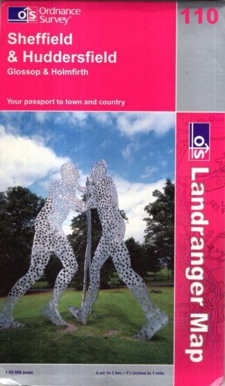
Sheffield & Huddersfield. Landranger Sheet 110 : Ordnance Survey
£4.05 Add to cart
Showing 1–9 of 361 results